Weather Watch with Rick Gordon
Below: Watch your weather outlook via YouTube, delivered in two minutes.
Tuesday’s Weather
Cloudy today mild and dry with a high of 53. A complex storm system approaches Wednesday and will have the most impact Wednesday night into Thursday.
✓ Accumulating snow likely with heavy accumulations possible.
✓ Heaviest precipitation rates Wednesday night and Thursday morning. Sleet is not out of the question at times for southern New Hampshire.
✓ Snow may be on the wet/heavy side which could cause power outages.
✓ Gusty to damaging winds toward the coast and over the coastal waters.
✓ Minor coastal flooding and splash-over possible.
✓ Depending on the track of the storm, snow amounts, and snow water content, moderate to major impacts will be possible in terms of snowfall rates, amounts, and snow load (weight).
Solar Eclipse Weather Update
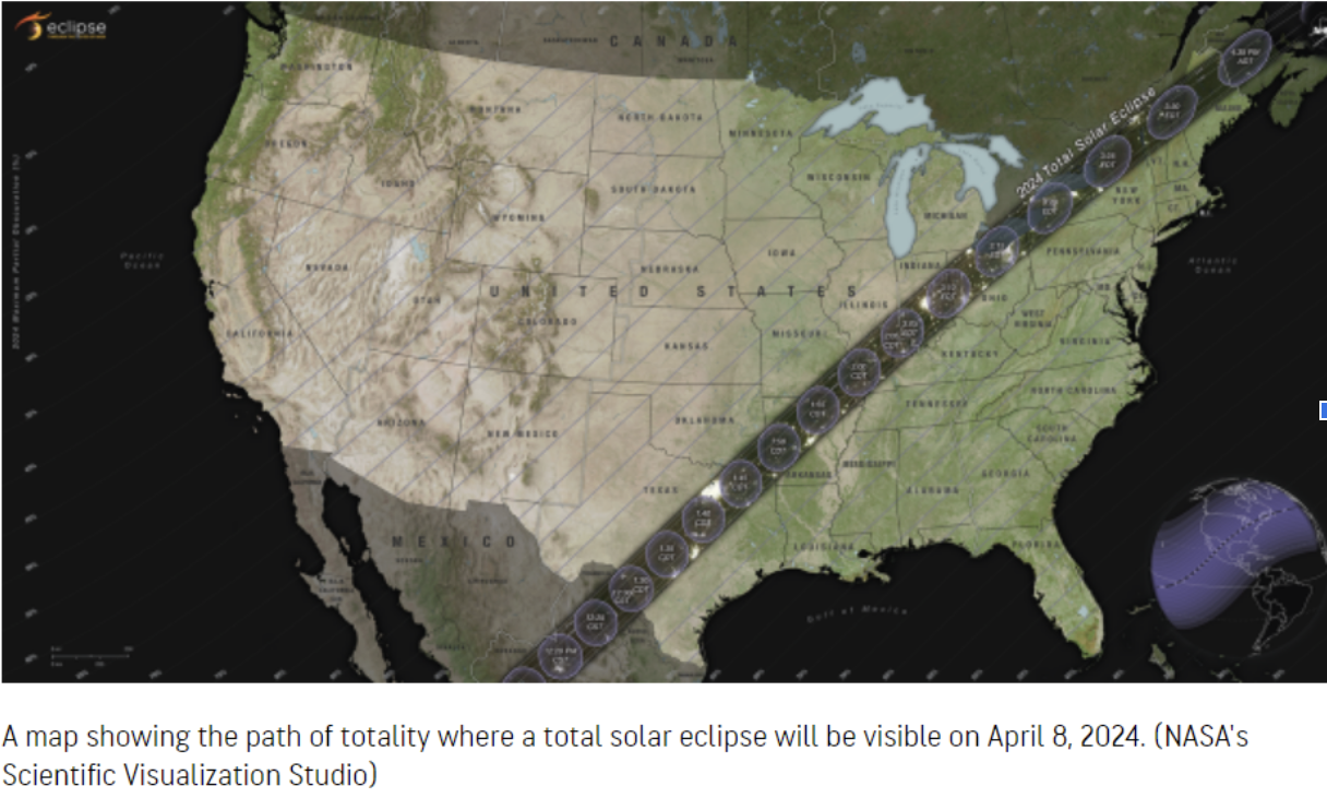
Solar Eclipse Weather Update Solar Eclipse Weather Outlook The final countdown is underway for the astronomy event of the decade – a total solar eclipse on Monday, April 8. The outlook is sunny with a high of 60. We’ll keep you up to date on the forecast here. We’ll keep you up to date on the forecast here.

Weather Patterns We’re Watching
 Hiking Report/White Mountains Weather
Elevations for summits above 4,000 feet in Northern New Hampshire Today: Summits in and out of clouds. Highs in the mid-30s. Southwest winds 10 to 15 mph with gusts up to 30 mph.
Elevations between 2,500 and 4,000 feet in Northern New Hampshire Today: Cloudy. Highs in the upper 30s. Southwest winds up to 10 mph with gusts up to 25 mph. The early April snowfall will be a boon to ski resorts still open across New England and should help to extend the season well into April.

Click here to check out the current conditions at NH Ski Resorts!


